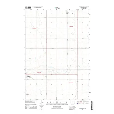
2015 Map of Faulkton East
USGS Topo · Published 2015About this map
The prairie landscape of Faulkton is defined by the meandering path of S Fork Snake Cr as it winds through the central portion of this quadrangle. This 2015 survey reveals the organized grid of rural life, anchored by the Evergreen Colony in the north and the outskirts of the town of Faulkton in the southwest. The presence of the Faulkton Cem and the Faulkton Municipal Airport provides specific points of interest for genealogists and local historians tracking the modern footprint of Faulk County. This sheet illustrates the persistence of agricultural township boundaries and the systematic road network that connects these remote prairie outposts.
Find a feature on this map
24 named features on this map. Tap any name to fly to it.
Don’t see what you’re looking for? This feature index may not catch every label — zoom into the map to look around manually.
Map Details
Editions of this 2015 Faulkton East Map
This is the sole edition of this map. No revisions or reprints were ever made.
Other maps of this area

1899 · Northville
USGS Topo · 1:125,000

1899 · Redfield
USGS Topo · 1:125,000

1951 · Orient
USGS Topo · 1:24,000

1951 · Orient NW
USGS Topo · 1:24,000

1952 · Norbeck
USGS Topo · 1:24,000

1952 · Wecota
USGS Topo · 1:24,000

1952 · Faulkton West
USGS Topo · 1:24,000

1952 · Faulkton East
USGS Topo · 1:24,000

1953 · Huron
USGS Topo · 1:250,000

1954 · Aberdeen
USGS Topo · 1:250,000