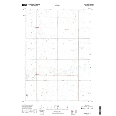
2017 Map of Faulkton East
USGS Topo · Published 2017About this map
Faulkton sits at the western edge of this prairie landscape, serving as a focal point for the surrounding agricultural sections of Faulk County. The town's local infrastructure is well-defined, ranging from the Faulkton Municipal Airport to the east and the Saint Thomas Catholic Cem and Faulkton Cem located to the south. The terrain is defined by the winding course of the S Fork Snake Cr, which meanders eastward through the center of the survey area, cutting through a grid of section roads like Main St and 157th St. This 2017 study illustrates the persistence of the Public Land Survey System, with township boundaries for t119n r69w and t118n r68w clearly marking the transition between rural expanses and the centralized activity of the settlement.
Find a feature on this map
29 named features on this map. Tap any name to fly to it.
Don’t see what you’re looking for? This feature index may not catch every label — zoom into the map to look around manually.
Map Details
Editions of this 2017 Faulkton East Map
This is the sole edition of this map. No revisions or reprints were ever made.
Other maps of this area

1899 · Northville
USGS Topo · 1:125,000

1899 · Redfield
USGS Topo · 1:125,000

1951 · Orient
USGS Topo · 1:24,000

1951 · Orient NW
USGS Topo · 1:24,000

1952 · Norbeck
USGS Topo · 1:24,000

1952 · Wecota
USGS Topo · 1:24,000

1952 · Faulkton West
USGS Topo · 1:24,000

1952 · Faulkton East
USGS Topo · 1:24,000

1953 · Huron
USGS Topo · 1:250,000

1954 · Aberdeen
USGS Topo · 1:250,000