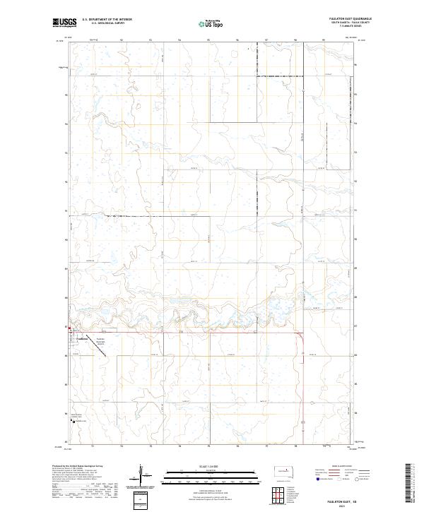
2021 Map of Faulkton East
USGS Topo · Published 2021About this map
The prairie landscape of Faulk County is centered on the town of Faulkton, a hub of transportation and community life in South Dakota. The topography is defined by the winding course of S Fork Snake Cr, which meanders eastward through the central portion of the map. This survey provides a clear look at the intersection of early twentieth-century section line roads, such as 160th St and 355th Ave, with more modern infrastructure like the Faulkton Municipal Airport. For those tracing local heritage, the map identifies two significant burial sites on the southern edge of town: Saint Thomas Catholic Cem and the larger Faulkton Cem. The transition from the structured residential grid of Main St to the expansive agricultural sections of t119n r69w highlights the enduring character of this rural plains settlement.
Find a feature on this map
28 named features on this map. Tap any name to fly to it.
Don’t see what you’re looking for? This feature index may not catch every label — zoom into the map to look around manually.
Map Details
Editions of this 2021 Faulkton East Map
This is the sole edition of this map. No revisions or reprints were ever made.
Other maps of this area

1899 · Northville
USGS Topo · 1:125,000

1899 · Redfield
USGS Topo · 1:125,000

1951 · Orient
USGS Topo · 1:24,000

1951 · Orient NW
USGS Topo · 1:24,000

1952 · Norbeck
USGS Topo · 1:24,000

1952 · Wecota
USGS Topo · 1:24,000

1952 · Faulkton West
USGS Topo · 1:24,000

1952 · Faulkton East
USGS Topo · 1:24,000

1953 · Huron
USGS Topo · 1:250,000

1954 · Aberdeen
USGS Topo · 1:250,000