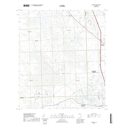
2018 Map of Favoretta
USGS Topo · Published 2018About this map
Favoretta and the surrounding wetland systems of the Florida Atlantic coast define this landscape during the late 2010s. The map spans the border of Flagler and Volusia Counties, showing the transition from the dense residential reaches of Ormond Beach and Daytona Beach to the interior wilderness. Significant natural features include the vast Hull Cypress Swamp, Lake Swamp, and the headwaters of the Little Tomoka River. This hydrologic network is constrained by topographic rises such as Rima Ridge and Gator Head.
Find a feature on this map
75 named features on this map. Tap any name to fly to it.
Don’t see what you’re looking for? This feature index may not catch every label — zoom into the map to look around manually.
Map Details
Editions of this 2018 Favoretta Map
This is the sole edition of this map. No revisions or reprints were ever made.
Other maps of this area

1937 · Ormond
USGS Topo · 1:48,000

1944 · Ormond
USGS Topo · 1:62,500

1952 · Daytona Beach
USGS Topo · 1:24,000

1954 · Daytona Beach
USGS Topo · 1:250,000

1956 · Favoretta
USGS Topo · 1:24,000

1956 · Flagler Beach East
USGS Topo · 1:24,000

1956 · Flagler Beach West
USGS Topo · 1:24,000

1956 · Ormond Beach
USGS Topo · 1:24,000

1958 · Daytona Beach
USGS Topo · 1:250,000

1962 · Daytona Beach NW
USGS Topo · 1:24,000