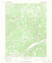
1966 Map of Fawn Creek
USGS Topo · Published 1970About this map
The North Fork White River and White River converge in this high-altitude landscape within the White River National Forest. The 1966 field check reveals a network of high-country pack trails and seasonal camps essential to the local livestock and resource history of Rio Blanco County. Notable features include Windy Bill Cow Camp and Crooks Park, which mark the presence of ranching activities in the valleys beneath peaks like Ellison Mountain and Old Baldy. While the rugged terrain is largely defined by drainages such as Big Beaver Creek and Fawn Creek, evidence of geologic exploration appears in several marked Prospect locations and a Drill Hole near the Big Beaver Basin. A River Gaging Sta on the main river branch indicates the importance of water monitoring in this drainage basin during the mid-20th century.
Find a feature on this map
43 named features on this map. Tap any name to fly to it.
Don’t see what you’re looking for? This feature index may not catch every label — zoom into the map to look around manually.
Map Details
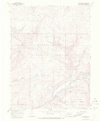
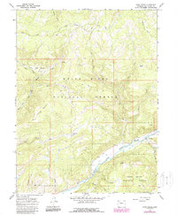
Editions of this 1966 Fawn Creek Map
3 editions found
Other maps of this area

1906 · Grand Hogback
USGS Topo · 1:125,000

1910 · Danforth Hills
USGS Topo · 1:125,000

1910 · Grand Hogback
USGS Topo · 1:125,000

1927 · Glenwood Springs
USGS Topo · 1:125,000

1930 · Glenwood Springs
USGS Topo · 1:125,000

1954 · Craig
USGS Topo · 1:250,000

1957 · Craig
USGS Topo · 1:250,000

1957 · Leadville
USGS Topo · 1:250,000

1958 · Craig
USGS Topo · 1:250,000

1959 · Leadville
USGS Topo · 1:250,000