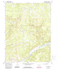
1966 Map of Fawn Creek
USGS Topo · Published 1988About this map
White River National Forest land defines this portion of Rio Blanco County, where the high country transitions between deep basins and prominent peaks. The drainage network is anchored by the North Fork White River, which meets the main White River in the southern part of the quadrangle. Early 20th-century land use is evident in the presence of seasonal livestock outposts like Windy Bill Cow Camp and named meadows such as Pattison Park.
Find a feature on this map
35 named features on this map. Tap any name to fly to it.
Don’t see what you’re looking for? This feature index may not catch every label — zoom into the map to look around manually.
Map Details
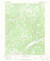
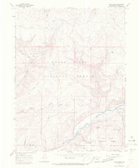
Editions of this 1966 Fawn Creek Map
3 editions found
Other maps of this area

1906 · Grand Hogback
USGS Topo · 1:125,000

1910 · Danforth Hills
USGS Topo · 1:125,000

1910 · Grand Hogback
USGS Topo · 1:125,000

1927 · Glenwood Springs
USGS Topo · 1:125,000

1930 · Glenwood Springs
USGS Topo · 1:125,000

1954 · Craig
USGS Topo · 1:250,000

1957 · Craig
USGS Topo · 1:250,000

1957 · Leadville
USGS Topo · 1:250,000

1958 · Craig
USGS Topo · 1:250,000

1959 · Leadville
USGS Topo · 1:250,000