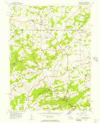
1956 Map of Fawn Grove
USGS Topo · Published 1957About this map
The Pennsylvania Maryland state line bisects this 1956 mid-century survey, where rural communities like Fawn Grove and Constitution sit atop a network of winding roads. The landscape is defined by the deep valleys of Deer Creek and Falling Branch, which cut through the southern portion of the quadrangle near Rocks State Park. The map reveals a high density of local landmarks essential for genealogical research, including St Pauls Ch, Holy Cross Ch, and cemeteries such as Fellowship Cem and Heaps Cem. The presence of Kennard-Dale High Sch and North Harford High Sch highlights the educational centers serving these border communities during a period of post-war stability. Distinctive geological features like Kilgores Rocks and the prominent Rock Ridge dominate the lower terrain, offering a clear view of the area's natural topography before modern development.
Find a feature on this map
79 named features on this map. Tap any name to fly to it.
Don’t see what you’re looking for? This feature index may not catch every label — zoom into the map to look around manually.
Map Details
Editions of this 1956 Fawn Grove Map
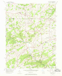
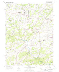
3 editions found
Other maps of this area

1900 · Parkton
USGS Topo · 1:62,500

1901 · Belair
USGS Topo · 1:62,500

1902 · Parkton
USGS Topo · 1:62,500

1908 · York
USGS Topo · 1:62,500

1910 · York
USGS Topo · 1:62,500

1912 · Mc Calls Ferry
USGS Topo · 1:62,500

1942 · Bel Air
USGS Topo · 1:62,500

1943 · Mc Calls Ferry
USGS Topo · 1:62,500

1944 · Norrisville
USGS Topo · 1:31,680
1944 · Phoenix
USGS Topo · 1:31,680