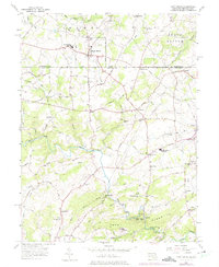
1956 Map of Fawn Grove
USGS Topo · Published 1975About this map
Fawn Grove and the surrounding borderlands of York and Harford counties are defined by the Mason and Dixon Line, which divides this agricultural and creek-cut landscape. The mid-century rural character is evidenced by a high density of community centers, including Faith Ch, St Marys Ch, and the Kennard-Dale High Sch. Settlement clusters like Constitution and Graceton sit near the state line, while to the south, Bushs Corner and Harkins serve as crossroads for the Maryland side. Natural landmarks like Kilgores Rocks and the winding course of Deer Creek shape the topography, which transitions into the protected woods of Deer Creek State Park. The map also captures the local educational landscape with the North Harford High Sch and industrial remnants like the Minefield near Cherry Hill, offering a clear view of the region's social and physical geography during the 1950s.
Find a feature on this map
66 named features on this map. Tap any name to fly to it.
Don’t see what you’re looking for? This feature index may not catch every label — zoom into the map to look around manually.
Map Details
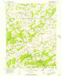
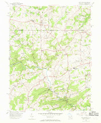
Editions of this 1956 Fawn Grove Map
3 editions found
Other maps of this area

1900 · Parkton
USGS Topo · 1:62,500

1901 · Belair
USGS Topo · 1:62,500

1902 · Parkton
USGS Topo · 1:62,500

1908 · York
USGS Topo · 1:62,500

1910 · York
USGS Topo · 1:62,500

1912 · Mc Calls Ferry
USGS Topo · 1:62,500

1942 · Bel Air
USGS Topo · 1:62,500

1943 · Mc Calls Ferry
USGS Topo · 1:62,500

1944 · Norrisville
USGS Topo · 1:31,680
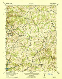
1944 · Phoenix
USGS Topo · 1:31,680