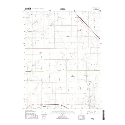
2016 Map of Fayette
USGS Topo · Published 2016About this map
The agrarian landscape along the Boone Co and Hendricks Co line is defined by an intricate network of drainage ditches and creeks that have long supported the region's farming heritage. Small communities like Fayette and Milledgeville serve as anchor points across the flatlands, while the southern edge of the map reaches the outskirts of Pittsboro. This area is particularly rich in genealogical sites, with numerous family-named burial grounds such as Smith-Shepherd Cem, Dickerson Cem, and Bethesda Cem preserved among the grid of country roads. The hydrology is dominated by White Lick Creek and its various tributaries, including the W Fork White Lick Cr and Main Edlin Ditch, illustrating the 20th-century engineering required to manage the wetlands of the Seven Mile Prairie for agricultural use.
Find a feature on this map
76 named features on this map. Tap any name to fly to it.
Don’t see what you’re looking for? This feature index may not catch every label — zoom into the map to look around manually.
Map Details
Editions of this 2016 Fayette Map
This is the sole edition of this map. No revisions or reprints were ever made.
Other maps of this area

1953 · Fayette
USGS Topo · 1:24,000

1953 · Rosston
USGS Topo · 1:24,000

1953 · Lizton
USGS Topo · 1:24,000

1953 · Danville
USGS Topo · 1:24,000

1953 · Brownsburg
USGS Topo · 1:24,000

1953 · Zionsville
USGS Topo · 1:24,000

1953 · Lebanon
USGS Topo · 1:24,000

1953 · Clermont
USGS Topo · 1:24,000

1953 · Danville
USGS Topo · 1:250,000

1953 · Indianapolis
USGS Topo · 1:250,000