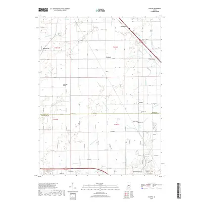
2019 Map of Fayette
USGS Topo · Published 2019About this map
Seven Mile Prairie anchors the landscape of central Indiana on the border between Boone and Hendricks counties. This agricultural region is defined by an intricate network of drainage systems, including the Main Edlin Ditch, Wiley Thompson Ditch, and Keeney Ditch, which manage the water table across the flat terrain. The area preserves significant genealogical markers through numerous family and community burial grounds such as Bethesda Cem, Smith-Shepherd Cem, and Howards Cem.
Find a feature on this map
47 named features on this map. Tap any name to fly to it.
Don’t see what you’re looking for? This feature index may not catch every label — zoom into the map to look around manually.
Map Details
Editions of this 2019 Fayette Map
This is the sole edition of this map. No revisions or reprints were ever made.
Other maps of this area

1953 · Fayette
USGS Topo · 1:24,000

1953 · Rosston
USGS Topo · 1:24,000

1953 · Lizton
USGS Topo · 1:24,000

1953 · Danville
USGS Topo · 1:24,000

1953 · Brownsburg
USGS Topo · 1:24,000

1953 · Zionsville
USGS Topo · 1:24,000

1953 · Lebanon
USGS Topo · 1:24,000

1953 · Clermont
USGS Topo · 1:24,000

1953 · Danville
USGS Topo · 1:250,000

1953 · Indianapolis
USGS Topo · 1:250,000