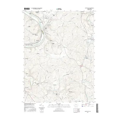
2016 Map of Fayette City
USGS Topo · Published 2016About this map
Fayette City and the winding Monongahela River dominate the northwestern corner of this landscape, where steep riverbanks transition into the rolling hills of the Mon Valley. The map documents a dense network of industrial-era settlements and patch towns, including Grindstone, Rowes Run, and Braznell, many of which developed around the region's historic coal and coke operations. The southern portion of the quadrangle is traversed by the National Pike, a primary artery for early westward expansion that continues to influence local transit patterns.
Find a feature on this map
72 named features on this map. Tap any name to fly to it.
Don’t see what you’re looking for? This feature index may not catch every label — zoom into the map to look around manually.
Map Details
Editions of this 2016 Fayette City Map
This is the sole edition of this map. No revisions or reprints were ever made.
Other maps of this area

1900 · Uniontown
USGS Topo · 1:62,500

1900 · Masontown
USGS Topo · 1:62,500

1902 · Brownsville
USGS Topo · 1:62,500

1902 · Connellsville
USGS Topo · 1:62,500

1903 · Masontown
USGS Topo · 1:62,500

1906 · Brownsville
USGS Topo · 1:62,500

1931 · Brownsville
USGS Topo · 1:62,500

1931 · Connellsville
USGS Topo · 1:62,500

1931 · Uniontown
USGS Topo · 1:62,500

1931 · Masontown
USGS Topo · 1:62,500