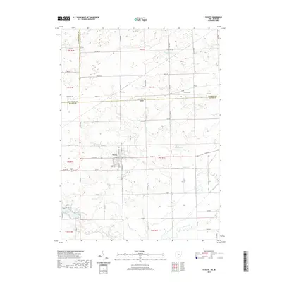
2019 Map of Fayette
USGS Topo · Published 2019About this map
The village of Fayette and the settlement of Munson anchor this borderland survey, where the agricultural plains of northwest Ohio meet the southern edge of Michigan. The landscape is defined by a dense grid of township and county roads, including US Rte 20 and US Rte 127, which intersect near the center of the quadrangle. Several family and community burial grounds, such as Snow Cem, Goss Cem, and Woodworth Cem, are scattered across the terrain, reflecting the long-standing genealogical roots of this rural region.
Find a feature on this map
71 named features on this map. Tap any name to fly to it.
Don’t see what you’re looking for? This feature index may not catch every label — zoom into the map to look around manually.
Map Details
Editions of this 2019 Fayette Map
This is the sole edition of this map. No revisions or reprints were ever made.
Other maps of this area

1911 · Wauseon
USGS Topo · 1:62,500

1913 · Wauseon
USGS Topo · 1:62,500

1913 · Alvordton
USGS Topo · 1:62,500

1943 · Wauseon
USGS Topo · 1:62,500

1944 · Alvordton
USGS Topo · 1:62,500

1953 · Fort Wayne
USGS Topo · 1:250,000

1956 · Fort Wayne
USGS Topo · 1:250,000

1959 · Archbold
USGS Topo · 1:24,000
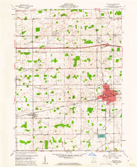
1960 · Wauseon
USGS Topo · 1:24,000

1960 · Morenci
USGS Topo · 1:24,000