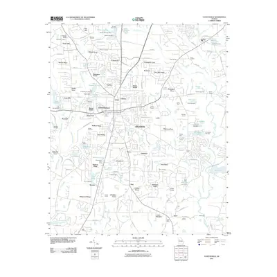
2011 Map of Fayetteville
USGS Topo · Published 2011About this map
The Fayetteville area in the early 21st century reveals a landscape of suburban expansion intertwined with long-established family landmarks and water-powered history. To the northeast, Mundys Mill and its associated Mundys Millpond on the Flint River point to the region's agricultural and industrial roots. The center of the quadrangle is anchored by the historic core of the city, featuring the Fayetteville Post Office and the Fayetteville City Cemetery.
Find a feature on this map
143 named features on this map. Tap any name to fly to it.
Don’t see what you’re looking for? This feature index may not catch every label — zoom into the map to look around manually.
Map Details
Editions of this 2011 Fayetteville Map
This is the sole edition of this map. No revisions or reprints were ever made.
Other maps of this area

1888 · Atlanta
USGS Topo · 1:125,000

1890 · Atlanta
USGS Topo · 1:125,000

1891 · Marietta
USGS Topo · 1:125,000

1892 · Atlanta
USGS Topo · 1:125,000

1895 · Atlanta
USGS Topo · 1:125,000

1895 · Marietta
USGS Topo · 1:125,000

1897 · Marietta
USGS Topo · 1:125,000

1901 · Marietta
USGS Topo · 1:125,000

1953 · Atlanta
USGS Topo · 1:250,000

1954 · Fairburn
USGS Topo · 1:24,000