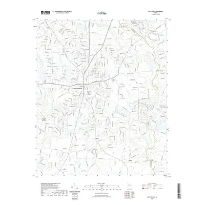
2020 Map of Fayetteville
USGS Topo · Published 2020About this map
The seat of Fayetteville centers this 2020 map, illustrating the intersection of modern suburban growth and historical landmarks in Georgia. The Fayette County Courthouse and Fayetteville City Cem stand as central points for local history, while surrounding settlements like Mundys Mill and Inman reflect the region's agricultural and industrial foundations. The landscape is notably defined by its water systems, including the Flint River and a dense network of creeks like Ginger Cake Cr and Morning Cr that historically powered local mills.
Find a feature on this map
57 named features on this map. Tap any name to fly to it.
Don’t see what you’re looking for? This feature index may not catch every label — zoom into the map to look around manually.
Map Details
Editions of this 2020 Fayetteville Map
This is the sole edition of this map. No revisions or reprints were ever made.
Other maps of this area

1888 · Atlanta
USGS Topo · 1:125,000

1890 · Atlanta
USGS Topo · 1:125,000

1891 · Marietta
USGS Topo · 1:125,000

1892 · Atlanta
USGS Topo · 1:125,000

1895 · Atlanta
USGS Topo · 1:125,000

1895 · Marietta
USGS Topo · 1:125,000

1897 · Marietta
USGS Topo · 1:125,000

1901 · Marietta
USGS Topo · 1:125,000

1953 · Atlanta
USGS Topo · 1:250,000

1954 · Fairburn
USGS Topo · 1:24,000