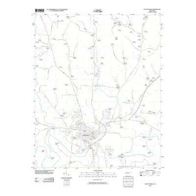
2010 Map of Fayetteville
USGS Topo · Published 2010About this map
Fayetteville serves as the central hub of this Lincoln County landscape, situated along the north bank of the Elk River. The town is characterized by its organized street grid and essential civic landmarks, including the Fayetteville Post Office and the Lincoln County Fairgrounds. The surrounding terrain is deeply carved by a dense network of hollows and ridges, such as Giles Hollow and Tonie Stone Ridge, which reflect the region's complex topography.
Find a feature on this map
137 named features on this map. Tap any name to fly to it.
Don’t see what you’re looking for? This feature index may not catch every label — zoom into the map to look around manually.
Map Details
Editions of this 2010 Fayetteville Map
This is the sole edition of this map. No revisions or reprints were ever made.
Other maps of this area

1936 · Booneville
USGS Topo · 1:24,000

1936 · Flintville
USGS Topo · 1:24,000

1936 · Taft
USGS Topo · 1:24,000

1936 · Belleville
USGS Topo · 1:24,000

1936 · Boonshill
USGS Topo · 1:24,000

1936 · Petersburg
USGS Topo · 1:24,000

1936 · Lincoln
USGS Topo · 1:24,000

1936 · Mulberry
USGS Topo · 1:24,000

1936 · Fayetteville
USGS Topo · 1:24,000

1944 · Shelbyville
USGS Topo · 1:100,000