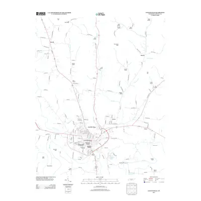
2013 Map of Fayetteville
USGS Topo · Published 2013About this map
Fayetteville sits at the heart of this Lincoln County survey, situated where the Elk River meets a network of small creeks and branches. The settlement pattern shows a mix of concentrated urban development and outlying rural hollows, with residential developments like Mayberry Courts, Elmwood Terrace, and Madden Homes defining the central community. To the north, the terrain rises into ridges such as Icy Bank Ridge and Tonie Stone Ridge, while the lowlands are carved by watercourses like Norris Cr and Cotton Mill Br. Local history is visible in the named river bends—Marshall Bend, Suggs Bend, and Morgan Bend—and legacy river crossings such as Clarks Ford. The northern half of the map is dominated by family-named landmarks and geographic features like Giles Hollow and Possum Hollow, reflecting the area's agricultural and rural heritage.
Find a feature on this map
136 named features on this map. Tap any name to fly to it.
Don’t see what you’re looking for? This feature index may not catch every label — zoom into the map to look around manually.
Map Details
Editions of this 2013 Fayetteville Map
This is the sole edition of this map. No revisions or reprints were ever made.
Other maps of this area

1936 · Booneville
USGS Topo · 1:24,000

1936 · Flintville
USGS Topo · 1:24,000

1936 · Taft
USGS Topo · 1:24,000

1936 · Belleville
USGS Topo · 1:24,000

1936 · Boonshill
USGS Topo · 1:24,000

1936 · Petersburg
USGS Topo · 1:24,000

1936 · Lincoln
USGS Topo · 1:24,000

1936 · Mulberry
USGS Topo · 1:24,000

1936 · Fayetteville
USGS Topo · 1:24,000

1944 · Shelbyville
USGS Topo · 1:100,000