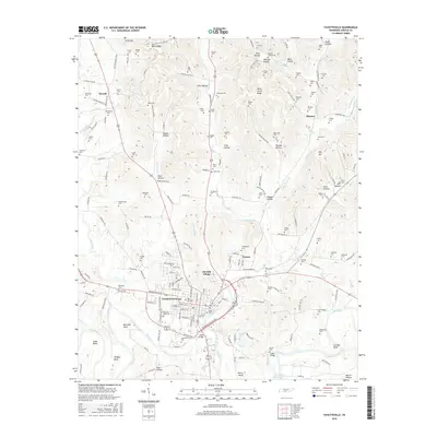
2016 Map of Fayetteville
USGS Topo · Published 2016About this map
Fayetteville serves as the regional hub at the confluence of several significant watercourses, most notably the Elk River which winds through the southern portion of the map. The town's historic depth is evidenced by a high density of burial sites including the Old City Cem, Rose Hill Cem, and Riverview Cem. To the north, the landscape transitions into a series of named ridges and hollows such as Tonie Stone Ridge and Terrapin Hollow, reflecting a rugged topography that influenced the rural settlement patterns seen at Elk Mill Village and Creson. The presence of Abd Bridge and Eldad Bridge over the river highlights the vital transportation crossings that link the outlying communities of Howell and Mimosa to the county seat. This survey captures a mix of established residential blocks and the persistent agrarian character of the Tennessee interior.
Find a feature on this map
185 named features on this map. Tap any name to fly to it.
Don’t see what you’re looking for? This feature index may not catch every label — zoom into the map to look around manually.
Map Details
Editions of this 2016 Fayetteville Map
This is the sole edition of this map. No revisions or reprints were ever made.
Other maps of this area

1936 · Booneville
USGS Topo · 1:24,000

1936 · Flintville
USGS Topo · 1:24,000

1936 · Taft
USGS Topo · 1:24,000

1936 · Belleville
USGS Topo · 1:24,000

1936 · Boonshill
USGS Topo · 1:24,000

1936 · Petersburg
USGS Topo · 1:24,000

1936 · Lincoln
USGS Topo · 1:24,000

1936 · Mulberry
USGS Topo · 1:24,000

1936 · Fayetteville
USGS Topo · 1:24,000

1944 · Shelbyville
USGS Topo · 1:100,000