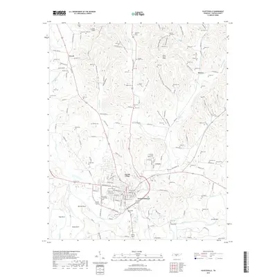
2019 Map of Fayetteville
USGS Topo · Published 2019About this map
The Elk River winds through the southern reaches of this landscape, carving deep bends known locally as Marshall Bend, Suggs Bend, and Lucinda Bend. At the heart of the region sits Fayetteville, the county seat, where the urban grid expands toward Elk Mill Village and Creson. The surrounding geography is defined by a complex network of hollows and ridges, such as Tonie Stone Ridge and Possum Hollow, which have historically shaped the placement of local homesteads and transportation routes like the Old Petersburg Pike.
Find a feature on this map
172 named features on this map. Tap any name to fly to it.
Don’t see what you’re looking for? This feature index may not catch every label — zoom into the map to look around manually.
Map Details
Editions of this 2019 Fayetteville Map
This is the sole edition of this map. No revisions or reprints were ever made.
Other maps of this area

1936 · Booneville
USGS Topo · 1:24,000

1936 · Flintville
USGS Topo · 1:24,000

1936 · Taft
USGS Topo · 1:24,000

1936 · Belleville
USGS Topo · 1:24,000

1936 · Boonshill
USGS Topo · 1:24,000

1936 · Petersburg
USGS Topo · 1:24,000

1936 · Lincoln
USGS Topo · 1:24,000

1936 · Mulberry
USGS Topo · 1:24,000

1936 · Fayetteville
USGS Topo · 1:24,000

1944 · Shelbyville
USGS Topo · 1:100,000