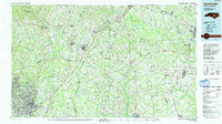
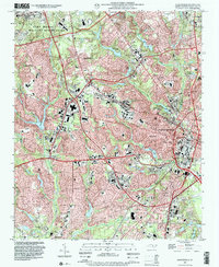
1986 Map of Fayetteville
USGS Topo · Published 1991About this map
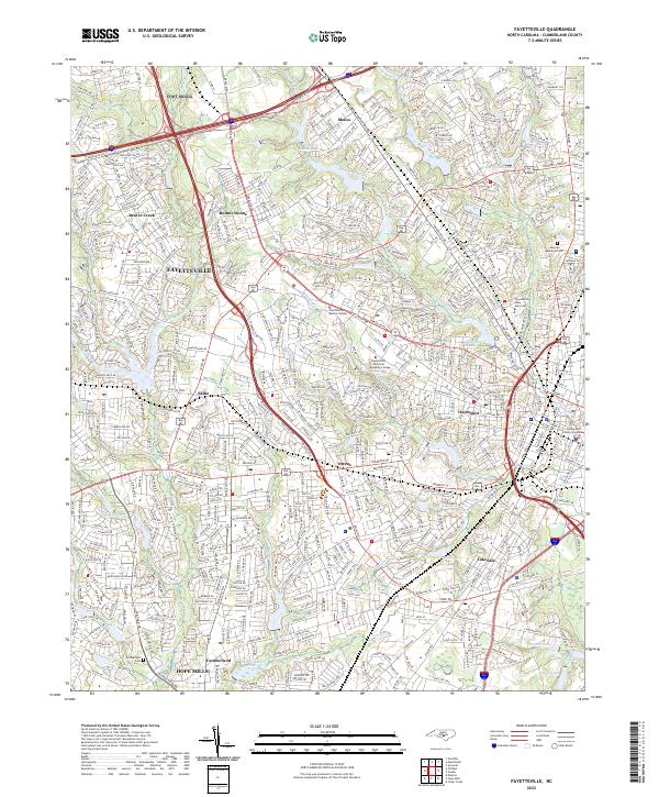
Fayetteville and the expansive Fort Bragg Military Reservation anchor the southwestern portion of this mid-1980s landscape, where the Cape Fear River and Little River converge. The mapping shows a region transitioning between major urban centers like Goldsboro and the rural agricultural expanses of the coastal plain. Transport networks are a defining feature, including the Seaboard System RR and the Southern Ry corridors that historically drove the growth of towns like Dunn, Clinton, and Warsaw.
Find a feature on this map
176 named features on this map. Tap any name to fly to it.
Don’t see what you’re looking for? This feature index may not catch every label — zoom into the map to look around manually.
Map Details
Editions of this 1986 Fayetteville Map
2 editions found

Historical Maps of Fayetteville Through Time
11 maps found

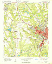
1948 Fayetteville
Cumberland County, NC
1950 Fayetteville
Cumberland County, NC

1957 Fayetteville
Cumberland County, NC
1957 Fayetteville
Cumberland County, NC
1976 Fayetteville
Cumberland County, NC
1986 Fayetteville
Cumberland County, NC
1997 Fayetteville
Cumberland County, NC
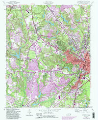
2013 Fayetteville
Cumberland County, NC
2016 Fayetteville
Cumberland County, NC
2019 Fayetteville
Cumberland County, NC
2022 Fayetteville
Cumberland County, NC