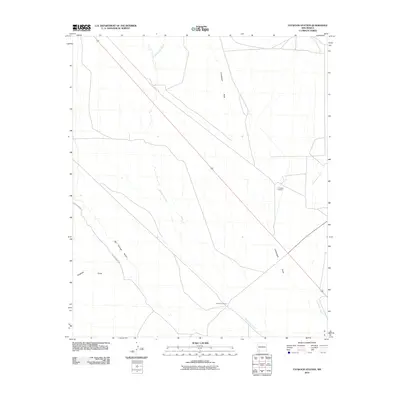
2010 Map of Faywood Station
USGS Topo · Published 2010About this map
Faywood Station sits at the heart of this high-desert landscape in Grant County, where the topography is defined by an intricate network of ephemeral watercourses. The drainage patterns of Whitewater Creek, Lampbright Draw, and San Vincente Arroyo illustrate the complex watershed of this arid region. Cattle ranching operations, such as the 2-C Cattle Company, maintain a presence amidst the sparse terrain, while Bertha Moore Rd and Hogback Draw provide geographic context for the local road network and natural landmarks. The map documents the relationship between modern ranching footprints and the ancient hydrological features that continue to shape movement across the New Mexico plains. This survey provides an essential look at the land use and drainage systems south of the larger mountain ranges as they existed in the early twenty-first century.
Find a feature on this map
8 named features on this map. Tap any name to fly to it.
Don’t see what you’re looking for? This feature index may not catch every label — zoom into the map to look around manually.
Map Details
Editions of this 2010 Faywood Station Map
This is the sole edition of this map. No revisions or reprints were ever made.
Other maps of this area

1899 · Deming
USGS Topo · 1:125,000

1909 · Silver City
USGS Topo · 1:125,000

1915 · Deming
USGS Topo · 1:125,000

1947 · Faywood Station
USGS Topo · 1:24,000

1948 · Hurley East
USGS Topo · 1:24,000

1949 · Whitewater
USGS Topo · 1:24,000

1949 · Hurley East
USGS Topo · 1:24,000

1949 · Faywood Station
USGS Topo · 1:24,000

1949 · Hurley West
USGS Topo · 1:24,000

1954 · Silver City
USGS Topo · 1:250,000