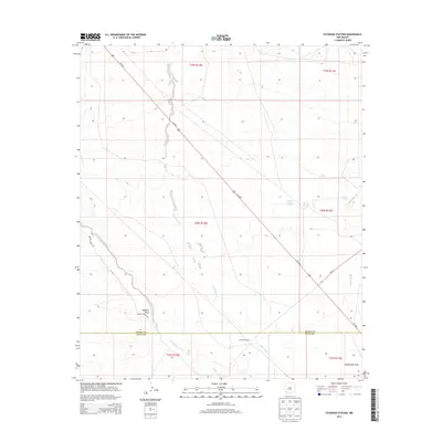
2013 Map of Faywood Station
USGS Topo · Published 2013About this map
Whitewater Cr and the San Vicente Arroyo dominate the drainage patterns of this high desert landscape, marking the transition where water sources define human activity. The presence of Kennecott Warm Springs, Warm Springs, and Lindauer Spring suggests a localized reliance on geothermal and natural water points in an otherwise arid region. The topography is shaped by gradual slopes and significant drainages such as Hogback Draw and Lampbright Draw.
Find a feature on this map
19 named features on this map. Tap any name to fly to it.
Don’t see what you’re looking for? This feature index may not catch every label — zoom into the map to look around manually.
Map Details
Editions of this 2013 Faywood Station Map
This is the sole edition of this map. No revisions or reprints were ever made.
Other maps of this area

1899 · Deming
USGS Topo · 1:125,000

1909 · Silver City
USGS Topo · 1:125,000

1915 · Deming
USGS Topo · 1:125,000

1947 · Faywood Station
USGS Topo · 1:24,000

1948 · Hurley East
USGS Topo · 1:24,000

1949 · Whitewater
USGS Topo · 1:24,000

1949 · Hurley East
USGS Topo · 1:24,000

1949 · Faywood Station
USGS Topo · 1:24,000

1949 · Hurley West
USGS Topo · 1:24,000

1954 · Silver City
USGS Topo · 1:250,000