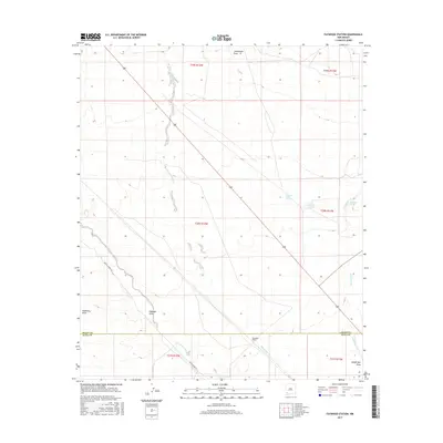
2017 Map of Faywood Station
USGS Topo · Published 2017About this map
Faywood Station serves as the namesake hub in this arid landscape straddling the southern border of Grant and Luna Counties. The area is defined by a series of intermittent watercourses and thermal features that historically dictated travel and ranching patterns. To the east, hydraulic interest is concentrated around Kennecott Warm Springs and Warm Springs, along with the localized Lindauer Spring near the banks of Cold Water Creek.
Find a feature on this map
17 named features on this map. Tap any name to fly to it.
Don’t see what you’re looking for? This feature index may not catch every label — zoom into the map to look around manually.
Map Details
Editions of this 2017 Faywood Station Map
This is the sole edition of this map. No revisions or reprints were ever made.
Other maps of this area

1899 · Deming
USGS Topo · 1:125,000

1909 · Silver City
USGS Topo · 1:125,000

1915 · Deming
USGS Topo · 1:125,000

1947 · Faywood Station
USGS Topo · 1:24,000

1948 · Hurley East
USGS Topo · 1:24,000

1949 · Whitewater
USGS Topo · 1:24,000

1949 · Hurley East
USGS Topo · 1:24,000

1949 · Faywood Station
USGS Topo · 1:24,000

1949 · Hurley West
USGS Topo · 1:24,000

1954 · Silver City
USGS Topo · 1:250,000