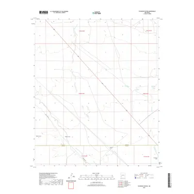
2020 Map of Faywood Station
USGS Topo · Published 2020About this map
Faywood Station sits at a geographic crossroads in the high desert of southwestern New Mexico, where the southern reaches of the Black Range give way to the Mimbres Valley. This 2020 landscape is defined by its vital water sources, including Kennecott Warm Springs and the nearby Warm Springs, which have long drawn people to this arid region. The drainage patterns of Whitewater Cr and San Vicente Arroyo carve through the terrain, illustrating the seasonal flow that dictates life in the Chihuahuan Desert.
Find a feature on this map
17 named features on this map. Tap any name to fly to it.
Don’t see what you’re looking for? This feature index may not catch every label — zoom into the map to look around manually.
Map Details
Editions of this 2020 Faywood Station Map
This is the sole edition of this map. No revisions or reprints were ever made.
Other maps of this area

1899 · Deming
USGS Topo · 1:125,000

1909 · Silver City
USGS Topo · 1:125,000

1915 · Deming
USGS Topo · 1:125,000

1947 · Faywood Station
USGS Topo · 1:24,000

1948 · Hurley East
USGS Topo · 1:24,000

1949 · Whitewater
USGS Topo · 1:24,000

1949 · Hurley East
USGS Topo · 1:24,000

1949 · Faywood Station
USGS Topo · 1:24,000

1949 · Hurley West
USGS Topo · 1:24,000

1954 · Silver City
USGS Topo · 1:250,000