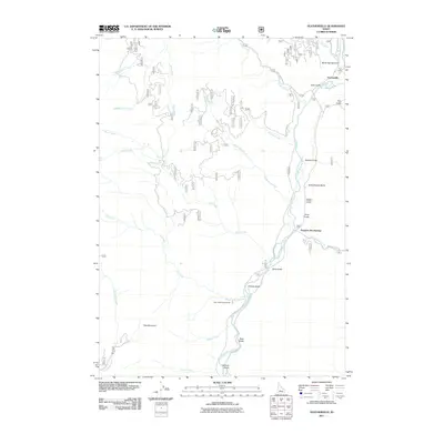
2011 Map of Featherville
USGS Topo · Published 2011About this map
Featherville serves as the focal point of this mountain landscape, situated at the confluence of the South Fork Boise River and the Feather River. The settlement pattern follows the river valleys and gulches, where roads like Wagontown Rd and Trinity Mountain Rd thread through the complex topography. The presence of Schoolhouse Gulch and Wagon Town Rd suggests a history of early mountain commerce and education in this part of Elmore County. Recreational and natural landmarks are prominent, including Paradise Hot Springs and the Dog Creek Campground located near the base of Dog Mountain. This survey details the numerous seasonal drainages such as Tollgate Creek, Warm Spring Gulch, and Bronco Gulch that define the watershed of the South Fork, illustrating the challenging terrain that shaped local development.
Find a feature on this map
35 named features on this map. Tap any name to fly to it.
Don’t see what you’re looking for? This feature index may not catch every label — zoom into the map to look around manually.
Map Details
Editions of this 2011 Featherville Map
This is the sole edition of this map. No revisions or reprints were ever made.
Other maps of this area

1892 · Camas Prairie
USGS Topo · 1:125,000

1893 · Camas Prairie
USGS Topo · 1:125,000

1894 · Rocky Bar
USGS Topo · 1:125,000

1955 · Hailey
USGS Topo · 1:250,000

1959 · Hailey
USGS Topo · 1:250,000

1962 · Hailey
USGS Topo · 1:250,000
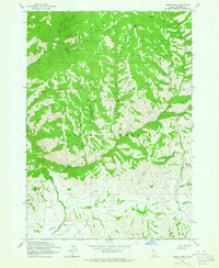
1963 · Sprout Mtn
USGS Topo · 1:24,000
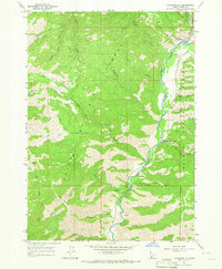
1964 · Featherville
USGS Topo · 1:24,000
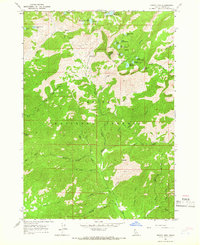
1964 · Trinity Mtn
USGS Topo · 1:24,000

1964 · Little Trinity Lake
USGS Topo · 1:24,000