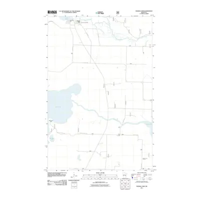
2011 Map of Federal Dam
USGS Topo · Published 2011About this map
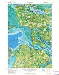
Federal Dam serves as the focal point for this survey, situated at the critical junction where the Leech Lake Dam regulates the outflow of Leech Lake into the Leech Lake River. The landscape is defined by the convergence of major waterways, including the winding course of the Boy River as it flows eastward toward Skelly Lake. This 2011 map documents a region deeply connected to the hydrology of northern Minnesota, showing the distribution of small-scale infrastructure like the Federal Dam Post Office alongside significant natural features such as Blackduck Point and Blackduck Lake.
Find a feature on this map
22 named features on this map. Tap any name to fly to it.
Don’t see what you’re looking for? This feature index may not catch every label — zoom into the map to look around manually.
Map Details
Editions of this 2011 Federal Dam Map
This is the sole edition of this map. No revisions or reprints were ever made.
Other maps of this area

1954 · Bemidji
USGS Topo · 1:250,000

1957 · Bemidji
USGS Topo · 1:250,000

1958 · Bemidji
USGS Topo · 1:250,000

1971 · Nushka Lake
USGS Topo · 1:24,000
1971 · Tobique
USGS Topo · 1:24,000

1971 · Bena
USGS Topo · 1:24,000
1971 · Town Line Lake
USGS Topo · 1:24,000
1971 · Whipholt
USGS Topo · 1:24,000
1971 · Federal Dam
USGS Topo · 1:24,000

1971 · Portage Lake
USGS Topo · 1:24,000