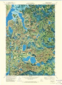
1971 Map of Tobique
USGS Topo · Published 1974About this map
Boy Lake and the interconnected waters of the Chippewa National Forest dominate this orthophotomap, showing the landscape of Cass County in the early 1970s. The settlement of Tobique sits in the northern reaches, while the Remer Lookout Tower stands as a sentinel over the heavily forested and lake-strewn terrain to the south. This era of land use is visible in the development of recreation, with Public Access points and the Mabel Lake Campground established to serve visitors to Mabel Lake. The map preserves the exact placement of local landmarks like the Cem near the northern shore and a Gravel Pit along the roadway. Between the sprawling Swift Lake and the irregular basin of Inguadona Lake, the terrain is a complex network of wetlands and shorelines, including named features like Rogers Point and the multi-lobed Twin 14 Lakes.
Find a feature on this map
27 named features on this map. Tap any name to fly to it.
Don’t see what you’re looking for? This feature index may not catch every label — zoom into the map to look around manually.
Map Details
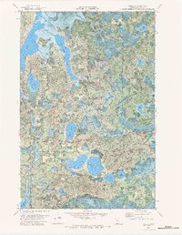
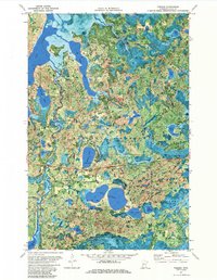
Editions of this 1971 Tobique Map
3 editions found
Other maps of this area

1953 · Duluth
USGS Topo · 1:250,000

1953 · Brainerd
USGS Topo · 1:250,000

1954 · Bemidji
USGS Topo · 1:250,000

1954 · Hibbing
USGS Topo · 1:250,000

1957 · Brainerd
USGS Topo · 1:250,000

1957 · Bemidji
USGS Topo · 1:250,000

1957 · Hibbing
USGS Topo · 1:250,000

1958 · Bemidji
USGS Topo · 1:250,000

1958 · Hibbing
USGS Topo · 1:250,000

1958 · Brainerd
USGS Topo · 1:250,000