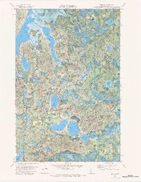
1971 Map of Tobique
USGS Topo · Published 1984About this map
Chippewa National Forest dominates this northern Minnesota landscape, where a dense network of water bodies defines the local geography. The winding path of the Boy River connects larger lakes such as Boy Lake and Inguadona Lake, creating a complex system of channels and wetlands. Human activity in the early 1970s is marked by the presence of the Soo Line railroad cutting through the northeastern sector, while the Remer Lookout Tower stands as a sentinel over the surrounding timber. Local history is anchored by a Cem in the northwest and the Mabel Lake Campground, reflecting the area's dual character as a site of early settlement and a destination for outdoor recreation. The map also reveals the administrative boundaries of Remer and Inguadona, alongside smaller landmarks like the Gravel Pit and numerous uniquely named basins like Lost Girl Lake and Ododikossi Lake.
Find a feature on this map
33 named features on this map. Tap any name to fly to it.
Don’t see what you’re looking for? This feature index may not catch every label — zoom into the map to look around manually.
Map Details
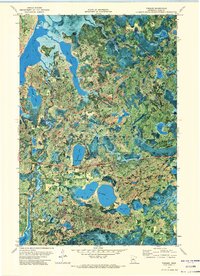
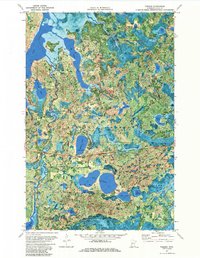
Editions of this 1971 Tobique Map
3 editions found
Other maps of this area

1953 · Duluth
USGS Topo · 1:250,000

1953 · Brainerd
USGS Topo · 1:250,000

1954 · Bemidji
USGS Topo · 1:250,000

1954 · Hibbing
USGS Topo · 1:250,000

1957 · Brainerd
USGS Topo · 1:250,000

1957 · Bemidji
USGS Topo · 1:250,000

1957 · Hibbing
USGS Topo · 1:250,000

1958 · Bemidji
USGS Topo · 1:250,000

1958 · Hibbing
USGS Topo · 1:250,000

1958 · Brainerd
USGS Topo · 1:250,000