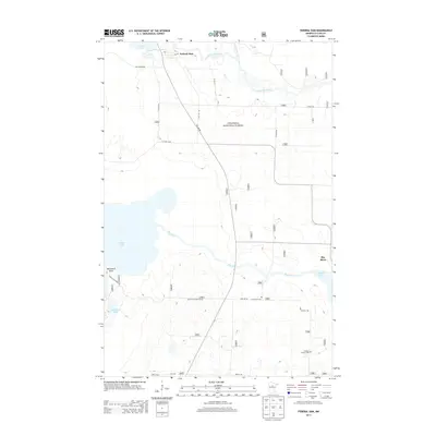
2013 Map of Federal Dam
USGS Topo · Published 2013About this map
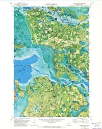
The community of Federal Dam sits at the northern edge of this landscape, where the waters of Leech Lake flow into the Leech Lake River. This region of the Chippewa National Forest is defined by its complex hydrography, featuring the winding course of the Boy River and several smaller basins like Skelly Lake and Blackduck Lake. The settlement pattern is sparse, largely dictated by the wetlands and the protected forest boundaries, with development clustered near the shorelines and along the primary corridors of Co Hwy 73 NE and 16th Ave NE. Local history is anchored by the Island Zion Cem and the Gilfillan Church Cem located further south. For those interested in the geographic layout of northern Minnesota, this map provides a clear view of the Blackduck Point peninsula and the many creeks, such as Drumbeater Cr, that feed into the larger river systems.
Find a feature on this map
24 named features on this map. Tap any name to fly to it.
Don’t see what you’re looking for? This feature index may not catch every label — zoom into the map to look around manually.
Map Details
Editions of this 2013 Federal Dam Map
This is the sole edition of this map. No revisions or reprints were ever made.
Other maps of this area

1954 · Bemidji
USGS Topo · 1:250,000

1957 · Bemidji
USGS Topo · 1:250,000

1958 · Bemidji
USGS Topo · 1:250,000

1971 · Nushka Lake
USGS Topo · 1:24,000
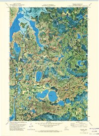
1971 · Tobique
USGS Topo · 1:24,000

1971 · Bena
USGS Topo · 1:24,000
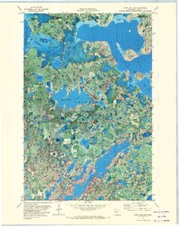
1971 · Town Line Lake
USGS Topo · 1:24,000
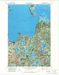
1971 · Whipholt
USGS Topo · 1:24,000
1971 · Federal Dam
USGS Topo · 1:24,000

1971 · Portage Lake
USGS Topo · 1:24,000