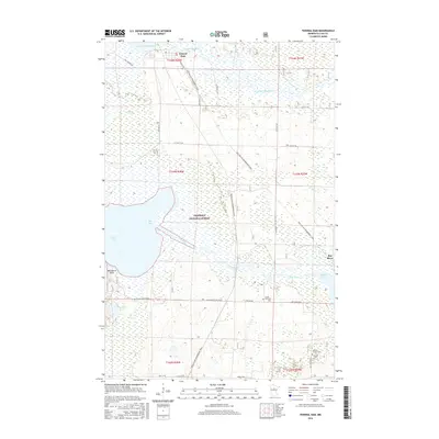
2016 Map of Federal Dam
USGS Topo · Published 2016About this map
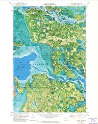
Chippewa National Forest encompasses the vast wetlands and water networks where the Leech Lake Reservoir meets the winding Leech Lake River. In this part of Cass County, the small settlement of Federal Dam sits at the northern edge, overlooking the waters of Boy Bay and the extensive Sugar Point Bog. The landscape is defined by its transition from open water to marshland, with Leech Lake dominating the western boundary. Cultural markers are concentrated in the southern reaches, including Island Zion Cem and the Gilfillan Church Cem near the town of Boy River. This area is characterized by a mix of recreational and seasonal utility, evidenced by the Soo Line Gia Snowmobile Trail cutting through the forest, following old corridor lines through the low-lying terrain of the lake basin.
Find a feature on this map
34 named features on this map. Tap any name to fly to it.
Don’t see what you’re looking for? This feature index may not catch every label — zoom into the map to look around manually.
Map Details
Editions of this 2016 Federal Dam Map
This is the sole edition of this map. No revisions or reprints were ever made.
Other maps of this area

1954 · Bemidji
USGS Topo · 1:250,000

1957 · Bemidji
USGS Topo · 1:250,000

1958 · Bemidji
USGS Topo · 1:250,000

1971 · Nushka Lake
USGS Topo · 1:24,000
1971 · Tobique
USGS Topo · 1:24,000

1971 · Bena
USGS Topo · 1:24,000
1971 · Town Line Lake
USGS Topo · 1:24,000
1971 · Whipholt
USGS Topo · 1:24,000
1971 · Federal Dam
USGS Topo · 1:24,000

1971 · Portage Lake
USGS Topo · 1:24,000