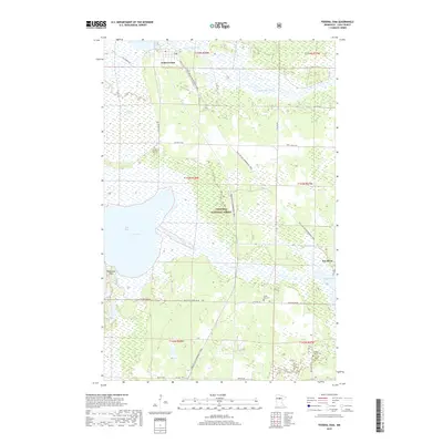
2019 Map of Federal Dam
USGS Topo · Published 2019About this map
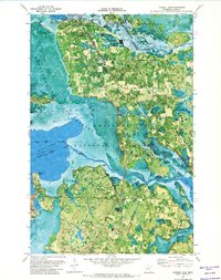
The community of Federal Dam sits at the northern edge of this landscape, situated where the Leech Lake River flows out of the expansive waters of Leech Lake. This 2019 survey documents a region defined by its vast wetlands and forested terrain within the Chippewa National Forest, where the complex shoreline of Boy Bay meets the winding course of the Boy River. The map provides clear evidence of the area's recreational and cultural geography, showing the paths of the Soo Line GIA Snowmobile Trail and the Triville GIA Snowmobile Trail as they cut through the timber.
Find a feature on this map
34 named features on this map. Tap any name to fly to it.
Don’t see what you’re looking for? This feature index may not catch every label — zoom into the map to look around manually.
Map Details
Editions of this 2019 Federal Dam Map
This is the sole edition of this map. No revisions or reprints were ever made.
Other maps of this area

1954 · Bemidji
USGS Topo · 1:250,000

1957 · Bemidji
USGS Topo · 1:250,000

1958 · Bemidji
USGS Topo · 1:250,000

1971 · Nushka Lake
USGS Topo · 1:24,000
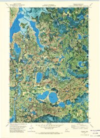
1971 · Tobique
USGS Topo · 1:24,000

1971 · Bena
USGS Topo · 1:24,000
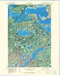
1971 · Town Line Lake
USGS Topo · 1:24,000
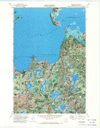
1971 · Whipholt
USGS Topo · 1:24,000
1971 · Federal Dam
USGS Topo · 1:24,000

1971 · Portage Lake
USGS Topo · 1:24,000