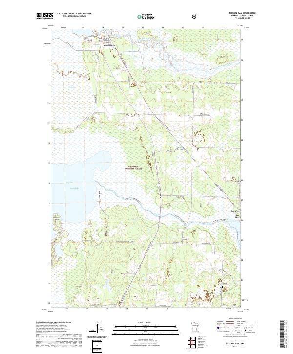
2022 Map of Federal Dam
USGS Topo · Published 2022About this map
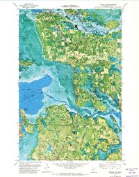
Leech Lake River flows from the northeast corner of this territory, where the settlement of Federal Dam sits at its headwaters. Much of this landscape is defined by the wetlands and timber of the Chippewa National Forest, including the broad expanse of Sugar Point Bog and the prominent Blackduck Point along the eastern edge of Leech Lake. The map details a transition from the water-heavy terrain of Boy Bay to the drier woodlands surrounding the small community of Boy River.
Find a feature on this map
37 named features on this map. Tap any name to fly to it.
Don’t see what you’re looking for? This feature index may not catch every label — zoom into the map to look around manually.
Map Details
Editions of this 2022 Federal Dam Map
This is the sole edition of this map. No revisions or reprints were ever made.
Other maps of this area

1954 · Bemidji
USGS Topo · 1:250,000

1957 · Bemidji
USGS Topo · 1:250,000

1958 · Bemidji
USGS Topo · 1:250,000

1971 · Nushka Lake
USGS Topo · 1:24,000
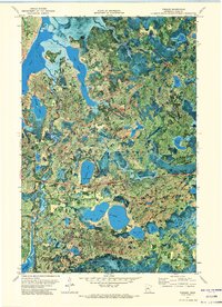
1971 · Tobique
USGS Topo · 1:24,000

1971 · Bena
USGS Topo · 1:24,000
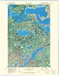
1971 · Town Line Lake
USGS Topo · 1:24,000
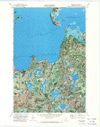
1971 · Whipholt
USGS Topo · 1:24,000
1971 · Federal Dam
USGS Topo · 1:24,000

1971 · Portage Lake
USGS Topo · 1:24,000