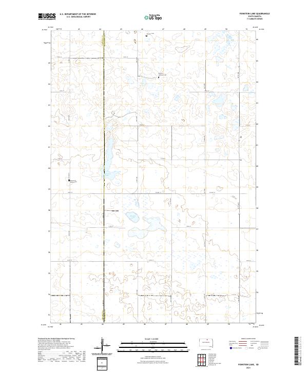
2021 Map of Feinstein Lake
USGS Topo · Published 2021About this map
The rolling prairie of the Campbell and McPherson County line is defined by its scattered wetland basins and deep-rooted family ties in this modern survey. Several small water bodies, including Feinstein Lake and Heupel Lake, dot the landscape between a strict grid of section roads like 117th St and 324th Ave. The area retains a distinct sense of its settlement history through its well-preserved cemeteries. Genealogists and local historians can find the Neudorf Lutheran Cemetery and the Neudorf Cemetery in the northern sections, while the Eberhardt Family Cemetery sits further west near 322nd Ave. This quadrangle illustrates the persistent agrarian character of the South Dakota plains, where the primary infrastructure remains focused on County Highway 12 and the maintenance of family heritage sites.
Find a feature on this map
25 named features on this map. Tap any name to fly to it.
Don’t see what you’re looking for? This feature index may not catch every label — zoom into the map to look around manually.
Map Details
Editions of this 2021 Feinstein Lake Map
This is the sole edition of this map. No revisions or reprints were ever made.
Other maps of this area

1954 · Aberdeen
USGS Topo · 1:250,000

1956 · Aberdeen
USGS Topo · 1:250,000

1978 · Hillsview SE
USGS Topo · 1:24,000

1978 · Bowdle-Hosmer Lake
USGS Topo · 1:24,000

1978 · Java SE
USGS Topo · 1:24,000

1978 · Eureka West
USGS Topo · 1:24,000

1978 · Flat Lake
USGS Topo · 1:24,000

1978 · Feinstein Lake
USGS Topo · 1:24,000

1978 · Eureka East
USGS Topo · 1:24,000

1978 · Mutske Lake
USGS Topo · 1:24,000