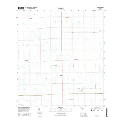
2015 Map of Felda
USGS Topo · Published 2015About this map
Felda and Keri serve as the primary human settlements in this low-lying region of Southwest Florida, defined by a rigid grid of drainage canals and agricultural access roads. The landscape is heavily engineered for water management, featuring major arteries like the Townsend Canal and Roberts Canal, which redirect water across the flat terrain. This network of ditches and levees supports the area's agricultural operations, evident by the presence of private aviation facilities like the Duda Airstrip and Charlton Strip.
Find a feature on this map
30 named features on this map. Tap any name to fly to it.
Don’t see what you’re looking for? This feature index may not catch every label — zoom into the map to look around manually.
Map Details
Editions of this 2015 Felda Map
This is the sole edition of this map. No revisions or reprints were ever made.
Other maps of this area

1956 · West Palm Beach
USGS Topo · 1:250,000

1957 · West Palm Beach
USGS Topo · 1:250,000

1958 · West Palm Beach
USGS Topo · 1:250,000

1958 · Felda SE
USGS Topo · 1:24,000

1958 · Immokalee
USGS Topo · 1:24,000

1958 · Felda
USGS Topo · 1:24,000

1958 · Immokalee NE
USGS Topo · 1:24,000

1958 · Felda NE
USGS Topo · 1:24,000

1958 · Alva
USGS Topo · 1:24,000

1958 · Sears
USGS Topo · 1:24,000