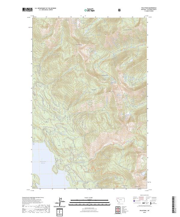
2024 Map of Felix Peak
USGS Topo · Published 2024About this map
Felix Peak and Mt Baptiste dominate this high-altitude landscape within the Flathead National Forest. This modern survey details the drainage systems of the Flathead Range, where headwaters like Harris Creek and Felix Creek flow through deep glacial valleys. The western edge of the map reveals a portion of the Hungry Horse Reservoir, a major water feature that has reshaped the local geography. Much of the eastern terrain falls within the Great Bear Wilderness, maintaining its primitive character with significant peaks such as Snowshed Mtn and Mt Adams. The map serves as a primary reference for the extensive network of forest development roads and primitive trails, such as the Baptiste Lookout Trl and the Sheep-Elk Loop Trl, which provide the only access into the high basins including Felix Basin and Silver Basin.
Find a feature on this map
51 named features on this map. Tap any name to fly to it.
Don’t see what you’re looking for? This feature index may not catch every label — zoom into the map to look around manually.
Map Details
Editions of this 2024 Felix Peak Map
This is the sole edition of this map. No revisions or reprints were ever made.
Other maps of this area

1914 · Nyack
USGS Topo · 1:125,000

1958 · Circus Peak
USGS Topo · 1:24,000

1958 · Nimrod
USGS Topo · 1:24,000

1958 · Quintonkon
USGS Topo · 1:24,000

1958 · Felix Peak
USGS Topo · 1:24,000

1960 · Cut Bank
USGS Topo · 1:250,000

1963 · Cut Bank
USGS Topo · 1:250,000

1964 · Cut Bank
USGS Topo · 1:250,000

1964 · Essex
USGS Topo · 1:24,000

1964 · Pinnacle
USGS Topo · 1:24,000