
1958 Map of Quintonkon
USGS Topo · Published 1960About this map
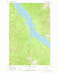
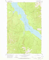
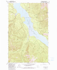
Hungry Horse Reservoir South Fork Flathead River dominates this mid-century topographic study, showing the flooded canyon of the South Fork just years after the dam's completion. The shoreline is punctuated by evidence of early management and recreation within the Flathead National Forest, including the Devils Corkscrew Campground and Peters Creek Campground. Higher elevations are defined by prominent peaks like Battery Mountain and Kah Mountain, which overlook a network of drainages such as Quintonkon Creek and Sullivan Creek. Of particular interest to local historians are the Core Drill Holes and the remote Baptiste Grave near the head of Hoke Creek. A network of Pack Trails remains the primary means of navigating the high basins, such as Silver Basin, during this era of forest administration.
Find a feature on this map
31 named features on this map. Tap any name to fly to it.
Don’t see what you’re looking for? This feature index may not catch every label — zoom into the map to look around manually.
Map Details
Editions of this 1958 Quintonkon Map
4 editions found
Other maps of this area

1914 · Nyack
USGS Topo · 1:125,000

1955 · Choteau
USGS Topo · 1:250,000

1957 · Choteau
USGS Topo · 1:250,000

1958 · Choteau
USGS Topo · 1:250,000

1958 · Circus Peak
USGS Topo · 1:24,000

1958 · Nimrod
USGS Topo · 1:24,000

1958 · Felix Peak
USGS Topo · 1:24,000

1960 · Cut Bank
USGS Topo · 1:250,000

1962 · Choteau
USGS Topo · 1:250,000

1963 · Cut Bank
USGS Topo · 1:250,000