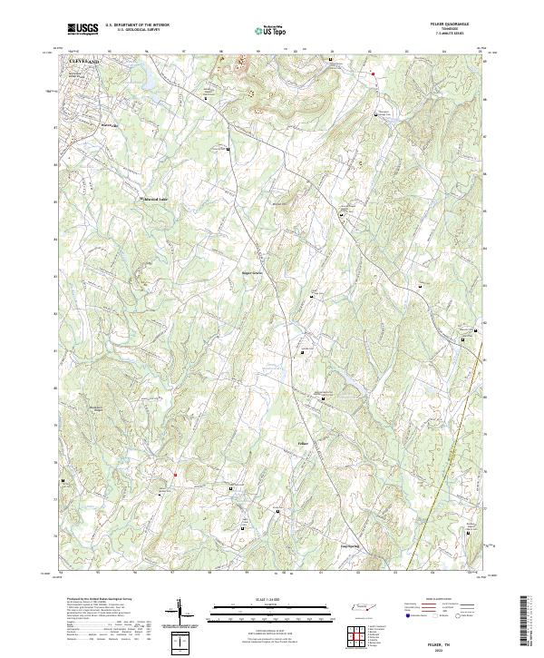
2022 Map of Felker
USGS Topo · Published 2022About this map
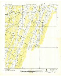
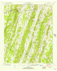
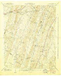
Cleveland and the surrounding Bradley County landscape are defined here by a series of north-south running ridges and creek valleys, notably along the Tennessee Valley Divide. The settlement pattern in this area is characterized by small rural clusters such as Sugar Grove, Felker, and Gap Spring, each connected by a network of local roads that follow the natural topography. Cultural and family history is anchored by numerous denominational cemeteries and churches, including Samples Memorial Baptist Church Cem and Boanerges Baptist Church Cem. The hydrologic character of the region is evident in the many small bodies of water and springs, such as Wildwood Lake, Kile Lake, and Lacy Spring, which feed into larger systems like Coahulla Cr. Prominent physical landmarks like Million Hill and the Blackburn Ridges rise above the agricultural and residential plots, illustrating the geographic transition between the valley floor and the surrounding heights.
Find a feature on this map
156 named features on this map. Tap any name to fly to it.
Don’t see what you’re looking for? This feature index may not catch every label — zoom into the map to look around manually.
Map Details
Editions of this 2022 Felker Map
This is the sole edition of this map. No revisions or reprints were ever made.
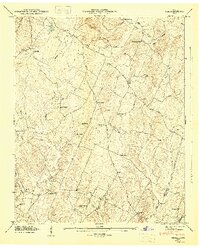
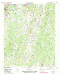
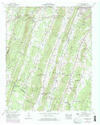
Historical Maps of Union Through Time
8 maps found