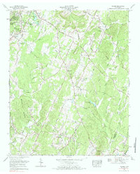
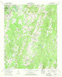
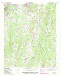
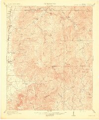
1967 Map of Felker
USGS Topo · Published 1984About this map
Coahulla Creek and its many tributaries, including Wolf Creek and Hicks Branch, define the rural landscape of southeast Tennessee in the late 1960s. The area is marked by numerous country churches and cemeteries that serve as vital touchstones for genealogical research, such as Liberty Cem near the Macedonia Ch and the remote Swan Cem located along the Bradley Co Polk Co line.
Find a feature on this map
55 named features on this map. Tap any name to fly to it.
Don’t see what you’re looking for? This feature index may not catch every label — zoom into the map to look around manually.
Map Details
Editions of this 1967 Felker Map
3 editions found
Other maps of this area

1886 · Dalton
USGS Topo · 1:125,000

1886 · Cleveland
USGS Topo · 1:125,000

1892 · Cleveland
USGS Topo · 1:125,000

1892 · Dalton
USGS Topo · 1:125,000

1895 · Cleveland
USGS Topo · 1:125,000

1897 · Dalton
USGS Topo · 1:125,000

1901 · Cleveland
USGS Topo · 1:125,000
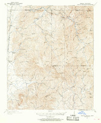
1911 · Cohutta Mtn
USGS Topo · 1:62,500
1913 · Cohutta Mtn.
USGS Topo · 1:62,500
1935 · East Cleveland
USGS Topo · 1:24,000