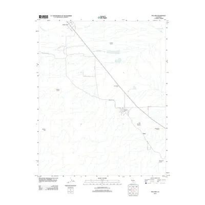
2012 Map of Fellows
USGS Topo · Published 2012About this map
The oil-producing landscapes of western Kern County are clearly defined on this 2012 survey, where industrial history and natural topography intersect. The settlement of Fellows sits at the heart of the Midway-Sunset field, surrounded by legacy sites such as Midway Oil Camp and Associated Oil Camp. This area is characterized by a dense network of roads serving the energy sector, including Shale Rd and Sunrise Cogen Rd, which navigate the complex terrain.
Find a feature on this map
25 named features on this map. Tap any name to fly to it.
Don’t see what you’re looking for? This feature index may not catch every label — zoom into the map to look around manually.
Map Details
Editions of this 2012 Fellows Map
This is the sole edition of this map. No revisions or reprints were ever made.
Other maps of this area

1910 · Buena Vista Lake
USGS Topo · 1:125,000

1912 · McKittrick
USGS Topo · 1:125,000

1912 · Buena Vista Lake
USGS Topo · 1:125,000

1932 · West Elk Hills
USGS Topo · 1:31,680

1932 · East Elk Hills
USGS Topo · 1:31,680
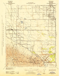
1942 · Buttonwillow
USGS Topo · 1:62,500

1943 · Maricopa
USGS Topo · 1:31,680

1944 · Panorama Hills
USGS Topo · 1:31,680
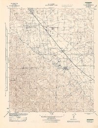
1944 · Fellows
USGS Topo · 1:31,680
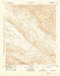
1944 · Elkhorn Hills
USGS Topo · 1:31,680