
1944 Map of Panorama Hills
USGS Topo · Published 1944About this map
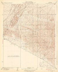
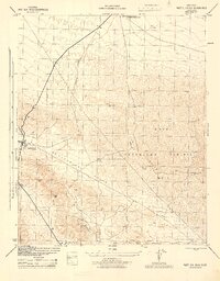
The Temblor Range dominates this landscape, serving as the high ground where the boundary between San Luis Obispo and Kern counties is etched across the terrain. Surveyed during the 1940s, the map reveals a remote intersection of geologic forces and early resource extraction. The Elkhorn Scarp runs prominently along the edge of the Carrizo Plain, while the presence of scattered Oil Wells and a Power Line cutting through the Panorama Hills indicates the industrial footprint of the era. Genealogists and local historians can trace family-named locations such as Crocker Flat or look toward Panorama Point for a high-altitude perspective of the drainages leading toward Buena Vista Creek. This document captures the region before extensive modern development, focusing on the arid, structured beauty of the California interior.
Find a feature on this map
11 named features on this map. Tap any name to fly to it.
Don’t see what you’re looking for? This feature index may not catch every label — zoom into the map to look around manually.
Map Details
Editions of this 1944 Panorama Hills Map
This is the sole edition of this map. No revisions or reprints were ever made.
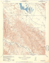
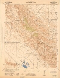
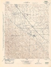
Other maps of this area

1912 · McKittrick
USGS Topo · 1:125,000
1932 · West Elk Hills
USGS Topo · 1:31,680

1941 · Caliente Mountain
USGS Topo · 1:62,500
1942 · Caliente Mtn
USGS Topo · 1:62,500
1943 · Simmler
USGS Topo · 1:62,500

1943 · Caliente Mtn.
USGS Topo · 1:62,500
1944 · Fellows
USGS Topo · 1:31,680

1944 · Elkhorn Hills
USGS Topo · 1:31,680

1944 · Midway Peak SW
USGS Topo · 1:31,680
1944 · West Elk Hills
USGS Topo · 1:31,680