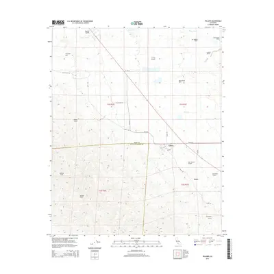
2015 Map of Fellows
USGS Topo · Published 2015About this map
Fellows and Midoil sit at the intersection of industry and geology on the western edge of the San Joaquin Valley. This landscape is defined by the sharp rise of the Temblor Range and the Buena Vista Hills, where the elevation climbs toward Midway Peak. The map reveals a dense network of utility and service roads, including Mocal Rd and Shale Rd, which navigate the deeply incised terrain of Hale McLeod Canyon and Seventeen Canyon. Near Derby Acres, the terrain levels out toward the Central Valley, showing the transition from the high ridges of the Telephone Hills to the alluvial plains. This area has long been a significant corridor for energy infrastructure, evidenced by the many named canyons and ridges that define the oil-rich geography along the Kern and San Luis Obispo county line.
Find a feature on this map
31 named features on this map. Tap any name to fly to it.
Don’t see what you’re looking for? This feature index may not catch every label — zoom into the map to look around manually.
Map Details
Editions of this 2015 Fellows Map
This is the sole edition of this map. No revisions or reprints were ever made.
Other maps of this area

1910 · Buena Vista Lake
USGS Topo · 1:125,000

1912 · McKittrick
USGS Topo · 1:125,000

1912 · Buena Vista Lake
USGS Topo · 1:125,000

1932 · West Elk Hills
USGS Topo · 1:31,680

1932 · East Elk Hills
USGS Topo · 1:31,680
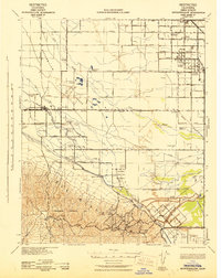
1942 · Buttonwillow
USGS Topo · 1:62,500

1943 · Maricopa
USGS Topo · 1:31,680

1944 · Panorama Hills
USGS Topo · 1:31,680
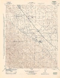
1944 · Fellows
USGS Topo · 1:31,680
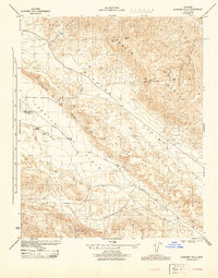
1944 · Elkhorn Hills
USGS Topo · 1:31,680