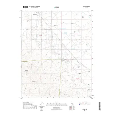
2018 Map of Fellows
USGS Topo · Published 2018About this map
Fellows and Derby Acres anchor this landscape along the western edge of the San Joaquin Valley Central Valley, where the valley floor meets the rising terrain of the Temblor Range. The map reveals a highly developed infrastructure of local roads like Mocal Rd, Shale Rd, and Bill Kirby Rd that crisscross the Buena Vista Hills, suggesting the intense industrial activity characteristic of this oil-rich region.
Find a feature on this map
36 named features on this map. Tap any name to fly to it.
Don’t see what you’re looking for? This feature index may not catch every label — zoom into the map to look around manually.
Map Details
Editions of this 2018 Fellows Map
This is the sole edition of this map. No revisions or reprints were ever made.
Other maps of this area

1910 · Buena Vista Lake
USGS Topo · 1:125,000

1912 · McKittrick
USGS Topo · 1:125,000

1912 · Buena Vista Lake
USGS Topo · 1:125,000

1932 · West Elk Hills
USGS Topo · 1:31,680

1932 · East Elk Hills
USGS Topo · 1:31,680
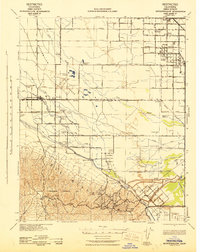
1942 · Buttonwillow
USGS Topo · 1:62,500

1943 · Maricopa
USGS Topo · 1:31,680

1944 · Panorama Hills
USGS Topo · 1:31,680
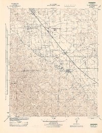
1944 · Fellows
USGS Topo · 1:31,680
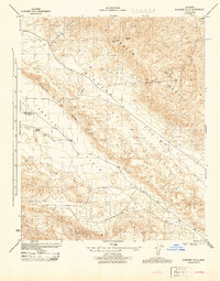
1944 · Elkhorn Hills
USGS Topo · 1:31,680