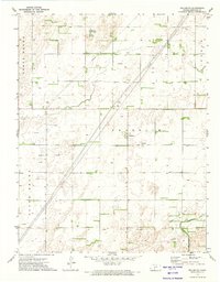
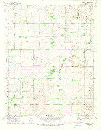
1972 Map of Fellsburg
USGS Topo · Published 1974About this map
Fellsburg serves as the central hub for this high plains landscape in Edwards County, where the grid of sections is etched across townships including Franklin, Lincoln, and the split divisions of North Brown and South Brown. A notable historical line, the Old Indian Treaty Boundary, cuts diagonally through the southern portion of the quadrangle, intersecting the winding course of Rattlesnake Creek. The 1970s economy is clearly visible through numerous energy extraction sites, including various Gas Wells and Oil Wells scattered across the fields. Beyond the town center and the Fellsburg Cem, the map is dominated by an extensive network of pipelines, illustrating the region's role in industrial transport. This survey also records the specific locations of a Drill Hole and several isolated wells, providing a detailed record for those tracing local land use or family farm boundaries.
Find a feature on this map
13 named features on this map. Tap any name to fly to it.
Don’t see what you’re looking for? This feature index may not catch every label — zoom into the map to look around manually.
Map Details
Editions of this 1972 Fellsburg Map
This is the sole edition of this map. No revisions or reprints were ever made.
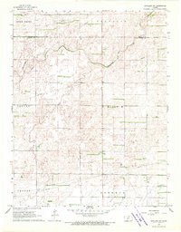
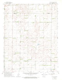
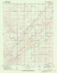
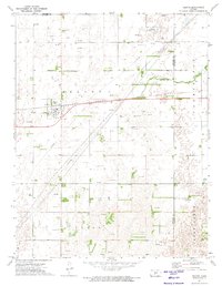
Other maps of this area

1889 · Kinsley
USGS Topo · 1:125,000

1892 · Kinsley
USGS Topo · 1:125,000

1894 · Kinsley
USGS Topo · 1:125,000

1955 · Pratt
USGS Topo · 1:250,000

1959 · Pratt
USGS Topo · 1:250,000
1968 · Haviland NW
USGS Topo · 1:24,000
1968 · Haviland NE
USGS Topo · 1:24,000
1969 · Greensburg NE
USGS Topo · 1:24,000
1971 · Trousdale
USGS Topo · 1:24,000
1972 · Belpre
USGS Topo · 1:24,000