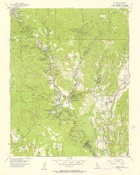
1955 Map of Felton
USGS Topo · Published 1957About this map
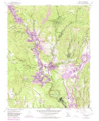
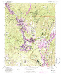
The San Lorenzo River valley defines this mid-century landscape, carving a corridor through the redwood-covered terrain of the Santa Cruz Mountains. The Southern Pacific railroad follows the river's bend, linking a series of mountain communities including Boulder Creek, Brookdale, Ben Lomond, and Felton. This era shows a mix of established resort-style settlements and institutional growth, evidenced by the Blake-Hammond Manor School and the San Lorenzo Valley High School.
Find a feature on this map
73 named features on this map. Tap any name to fly to it.
Don’t see what you’re looking for? This feature index may not catch every label — zoom into the map to look around manually.
Map Details
Editions of this 1955 Felton Map
6 editions found
Other maps of this area

1902 · Santa Cruz
USGS Topo · 1:125,000

1912 · Capitola
USGS Topo · 1:62,500

1914 · Capitola
USGS Topo · 1:62,500

1916 · New Almaden
USGS Topo · 1:48,000

1919 · New Almaden
USGS Topo · 1:62,500

1940 · Capitola
USGS Topo · 1:62,500

1940 · Los Gatos
USGS Topo · 1:62,500

1943 · Los Gatos
USGS Topo · 1:62,500

1947 · San Francisco
USGS Topo · 1:250,000

1947 · San Jose
USGS Topo · 1:250,000