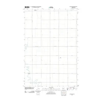
2010 Map of Felton SW
USGS Topo · Published 2010About this map
Kirkebo Lutheran Church and its associated Cemetery stand at the northern edge of this Clay County landscape, serving as a primary cultural anchor in an area defined by large-scale agricultural parcels. The terrain is remarkably flat, characteristic of the Red River Valley, and is organized by a precise grid of rural routes such as 190th Ave N and 40th St N. The meandering course of the Buffalo River provides the only significant break in this geometric layout, winding through the southwestern corner near North Bluff Memorial Gardens. Aside from the small private airstrip at Pake Airport, the map reflects a purely agrarian economy tied to the land's drainage and transport network, including established corridors like County Hwy-5 and County Hwy-107.
Find a feature on this map
22 named features on this map. Tap any name to fly to it.
Don’t see what you’re looking for? This feature index may not catch every label — zoom into the map to look around manually.
Map Details
Editions of this 2010 Felton SW Map
This is the sole edition of this map. No revisions or reprints were ever made.
Other maps of this area

1895 · Fargo
USGS Topo · 1:125,000

1897 · Fargo
USGS Topo · 1:125,000

1952 · Grand Forks
USGS Topo · 1:250,000

1953 · Fargo
USGS Topo · 1:250,000

1956 · Fargo
USGS Topo · 1:250,000

1956 · Grand Forks
USGS Topo · 1:250,000

1959 · Fargo North
USGS Topo · 1:24,000

1963 · Georgetown
USGS Topo · 1:24,000

1963 · Perley
USGS Topo · 1:24,000

1964 · Dilworth
USGS Topo · 1:24,000