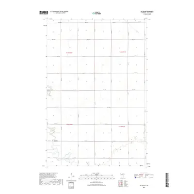
2019 Map of Felton SW
USGS Topo · Published 2019About this map
The Buffalo River meanders across the southern landscape of this Clay County region, defining a riparian corridor through an otherwise geometric grid of section lines and gravel roads. In the southwestern corner, the North Buffalo Lutheran Cem stands as a focal point for local family history, situated just north of 120th Ave N. The area is characterized by its agricultural layout, organized under the Public Land Survey System within t142n r48w and t141n r48w.
Find a feature on this map
26 named features on this map. Tap any name to fly to it.
Don’t see what you’re looking for? This feature index may not catch every label — zoom into the map to look around manually.
Map Details
Editions of this 2019 Felton SW Map
This is the sole edition of this map. No revisions or reprints were ever made.
Other maps of this area

1895 · Fargo
USGS Topo · 1:125,000

1897 · Fargo
USGS Topo · 1:125,000

1952 · Grand Forks
USGS Topo · 1:250,000

1953 · Fargo
USGS Topo · 1:250,000

1956 · Fargo
USGS Topo · 1:250,000

1956 · Grand Forks
USGS Topo · 1:250,000

1959 · Fargo North
USGS Topo · 1:24,000

1963 · Georgetown
USGS Topo · 1:24,000

1963 · Perley
USGS Topo · 1:24,000

1964 · Dilworth
USGS Topo · 1:24,000