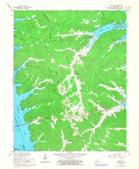
1967 Map of Fenton
USGS Topo · Published 1968About this map
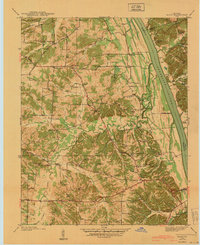
Kentucky Lake and the Tennessee River dominate this 1967 survey of the area now designated as Land Between the Lakes. This moment in time captures the region following the creation of major reservoirs, showing the Egger Ferry Bridge crossing the wide waters near Fenton. The map documents the Tennessee Valley Divide, which separates the drainages flowing toward Kentucky Lake from those heading into Energy Lake and Barkley Lake to the east. Interior landmarks like the Lookout Tower and Roadside Park near Golden Pond provide specific points of reference for local historians. Genealogists will find several burial sites including Jenny Ridge Cem, Matthew Cem, and Pleasant Valley Cem. The landscape is a network of hollows and bays, such as Vickers Bay and Shaw Bay, illustrating how the rising waters reshaped the old creek valleys of Trigg and Marshall counties.
Find a feature on this map
51 named features on this map. Tap any name to fly to it.
Don’t see what you’re looking for? This feature index may not catch every label — zoom into the map to look around manually.
Map Details
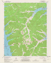
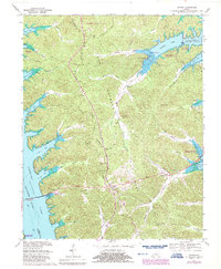
Editions of this 1967 Fenton Map
3 editions found
Other maps of this area

1936 · Mont
USGS Topo · 1:24,000

1936 · Fenton
USGS Topo · 1:24,000

1936 · Hiatt
USGS Topo · 1:24,000

1936 · Birmingham
USGS Topo · 1:24,000

1936 · Golden Pond
USGS Topo · 1:48,000

1936 · Rushing
USGS Topo · 1:24,000

1936 · Hico
USGS Topo · 1:24,000
1938 · Birmingham
USGS Topo · 1:24,000
1940 · Hiatt
USGS Topo · 1:24,000

1942 · Hico
USGS Topo · 1:24,000