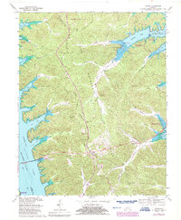
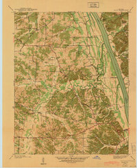
1967 Map of Fenton
USGS Topo · Published 1987About this map
Land Between The Lakes dominates the center of this landscape, positioned between the expansive waters of Kentucky Lake and Lake Barkley. This ridge-and-hollow terrain is bisected by the Tennessee Valley Divide, a natural crest that historically separated the drainage basins of two major river systems. The settlement of Golden Pond serves as a central hub along the main route of 68 80, which crosses the western waters via the Egger Ferry Bridge.
Find a feature on this map
86 named features on this map. Tap any name to fly to it.
Don’t see what you’re looking for? This feature index may not catch every label — zoom into the map to look around manually.
Map Details
Editions of this 1967 Fenton Map
3 editions found
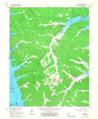
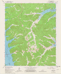
Other maps of this area

1936 · Mont
USGS Topo · 1:24,000

1936 · Fenton
USGS Topo · 1:24,000

1936 · Hiatt
USGS Topo · 1:24,000

1936 · Birmingham
USGS Topo · 1:24,000

1936 · Golden Pond
USGS Topo · 1:48,000

1936 · Rushing
USGS Topo · 1:24,000

1936 · Hico
USGS Topo · 1:24,000
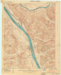
1938 · Birmingham
USGS Topo · 1:24,000
1940 · Hiatt
USGS Topo · 1:24,000

1942 · Hico
USGS Topo · 1:24,000