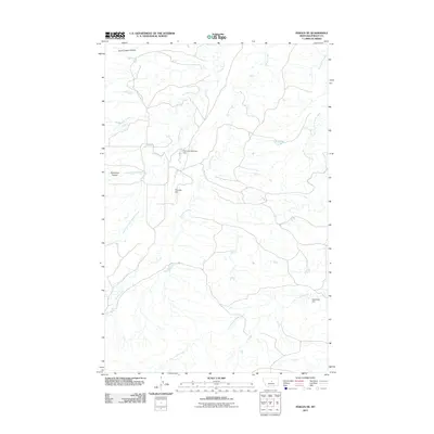
2011 Map of Fergus NE
USGS Topo · Published 2011About this map
Armells Creek and its tributary Dry Armells Creek define the drainage patterns of this Fergus County landscape, where small-scale water management infrastructure supported ranching operations in the early 21st century. The topographic data reveals a network of coulees, such as Murphy Coulee and Burnshed Coulee, that carve through the high plains toward larger watercourses. Localized water storage is a central feature of the area, evidenced by the Petranek Reservoir and its associated Petranek Reservoir Dam, along with other structures like the Petranek Dam and Satterfield Dam. These man-made improvements underscore the vital importance of water rights and management in central Montana, where creeks such as Cottonwood Creek and the South Fork Cottonwood Creek provide critical resources in a semi-arid environment. The map provides a clear record of these named landmarks and their relationship to the natural coulee systems.
Find a feature on this map
11 named features on this map. Tap any name to fly to it.
Don’t see what you’re looking for? This feature index may not catch every label — zoom into the map to look around manually.
Map Details
Editions of this 2011 Fergus NE Map
This is the sole edition of this map. No revisions or reprints were ever made.
Other maps of this area

1943 · Landusky
USGS Topo · 1:125,000

1954 · Lewistown
USGS Topo · 1:250,000

1959 · Lewistown
USGS Topo · 1:250,000

1978 · Lewistown
USGS Topo · 1:100,000

1984 · Zortman
USGS Topo · 1:100,000

1985 · The Horse Ranch
USGS Topo · 1:24,000

1985 · Thompson Coulee
USGS Topo · 1:24,000

1985 · Fergus
USGS Topo · 1:24,000

1985 · Roy
USGS Topo · 1:24,000

1985 · Armells
USGS Topo · 1:24,000