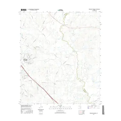
2016 Map of Ferguson Crossing
USGS Topo · Published 2016About this map
The Navasota River meanders along the boundary of Brazos Co and Grimes Co, serving as the primary natural artery for this landscape of bottomlands and oxbow lakes. On the western bank, the expanding residential outskirts of College Station reach toward the river, characterized by newer subdivisions like those near Anasazi Bluff Dr and Mission Hills Dr. This growth contrasts with the more rural character of Ferguson Crossing to the north and the quiet grounds of the Peach Creek Cem further south.
Find a feature on this map
77 named features on this map. Tap any name to fly to it.
Don’t see what you’re looking for? This feature index may not catch every label — zoom into the map to look around manually.
Map Details
Editions of this 2016 Ferguson Crossing Map
This is the sole edition of this map. No revisions or reprints were ever made.
Other maps of this area

1913 · Millican
USGS Topo · 1:31,680

1914 · Gay Hill
USGS Topo · 1:62,500

1914 · Navasota
USGS Topo · 1:62,500

1954 · Austin
USGS Topo · 1:250,000

1956 · Bryan
USGS Topo · 1:62,500

1956 · Carlos
USGS Topo · 1:62,500

1958 · Navasota
USGS Topo · 1:24,000

1959 · Millican
USGS Topo · 1:24,000

1959 · Clay
USGS Topo · 1:24,000

1959 · Reliance
USGS Topo · 1:24,000