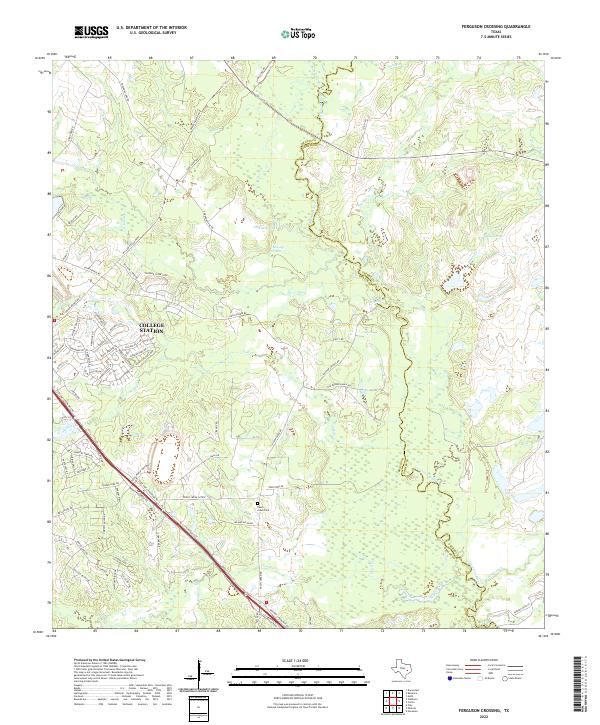
2022 Map of Ferguson Crossing
USGS Topo · Published 2022About this map
The Navasota River meanders along the eastern boundary of this Brazos County landscape, carving a low-lying basin where Peach Creek and Lick Creek converge. This area reflects a shift from the urban expansion of College Station in the northwest to the rural bottomlands and family-named landmarks further east and south. Cultural heritage is preserved at the Peach Creek Cem, situated near the Peach Creek Cutoff, while the naming of Harpers Ferry Rd hints at historical river crossings that once served this region.
Find a feature on this map
85 named features on this map. Tap any name to fly to it.
Don’t see what you’re looking for? This feature index may not catch every label — zoom into the map to look around manually.
Map Details
Editions of this 2022 Ferguson Crossing Map
This is the sole edition of this map. No revisions or reprints were ever made.
Other maps of this area

1913 · Millican
USGS Topo · 1:31,680

1914 · Gay Hill
USGS Topo · 1:62,500

1914 · Navasota
USGS Topo · 1:62,500

1954 · Austin
USGS Topo · 1:250,000

1956 · Bryan
USGS Topo · 1:62,500

1956 · Carlos
USGS Topo · 1:62,500

1958 · Navasota
USGS Topo · 1:24,000

1959 · Millican
USGS Topo · 1:24,000

1959 · Clay
USGS Topo · 1:24,000

1959 · Reliance
USGS Topo · 1:24,000